
Apophis 2029: Interactive 3D Flyby
A close encounter, with room to spare. Explore the scale of Apophis’s safe 13 April 2029 flyby.
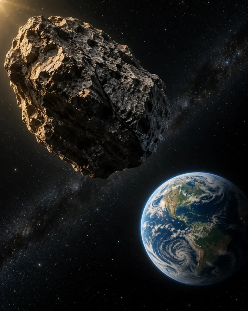 13 APRIL 2029 · A SAFE FLYBY
Interactive · 3D explorer
Meet Apophis in interactive 3D
Follow the safe 2029 flyby, compare Earth and GEO distances, or inspect the asteroid up close.
Illustrative two-body model, not the exact encounter path or an observing chart. The hypothetical impact is a separate, invented scenario.
What can you explore?
Pause at the nearest point, scrub through a six-hour model window, compare the reference GEO altitude and switch between cinematic, top and follow views. The inspection mode uses a separate scale to show an artistic asteroid shape. A five-chapter guided story explains the encounter.
Seeing Apophis in the sky. On 13 April 2029, a moving point of light is expected to be visible to the unaided eye from parts of Europe, Africa and Asia under clear, dark skies. It shines by reflected sunlight. Local visibility depends on your location, weather and horizon; this simulation is not a local sky chart. NASA/JPL viewing context.
The model and the evidence
The flyby illustration uses a rounded closest altitude of 32,000 km, a spherical Earth and a stated incoming-speed assumption. Its orbital plane, surfaces and viewing orientation are illustrative. Earth’s approximate day/night lighting follows a nominal 13 April 2029, 21:46 UTC closest-approach reference, with the model time offset applied. It does not calculate a collision probability or reproduce the asteroid’s precise sky position, ground track or UTC timing. Open “Sources & model notes” inside the explorer for its assumptions and original references.
The separate “What if?” mode lets you compare Land and Ocean scenarios for an intact rocky body. Land estimates an initial crater cavity and reference airblast effects. Ocean adds a water-depth control, a rough water-cavity scale and idealised gravity-wave travel comparisons. Watch the splash, collapse, rebound jet and spreading waves, then explore what the numerical references do and do not mean. Both cases can be devastating nearby. Horizontal grid distances use kilometres; spray, wave heights and animation timing are illustrative. Coastal flooding requires a location-specific seabed and shoreline model. These scenarios are separate from Apophis’s safe 2029 flyby.
The actual safety conclusion comes from NASA’s radar observations and orbit analysis. Read the full Apophis story and source timeline, or explore how DART changed an asteroid’s orbit.